search
Garden of Gethsemane map
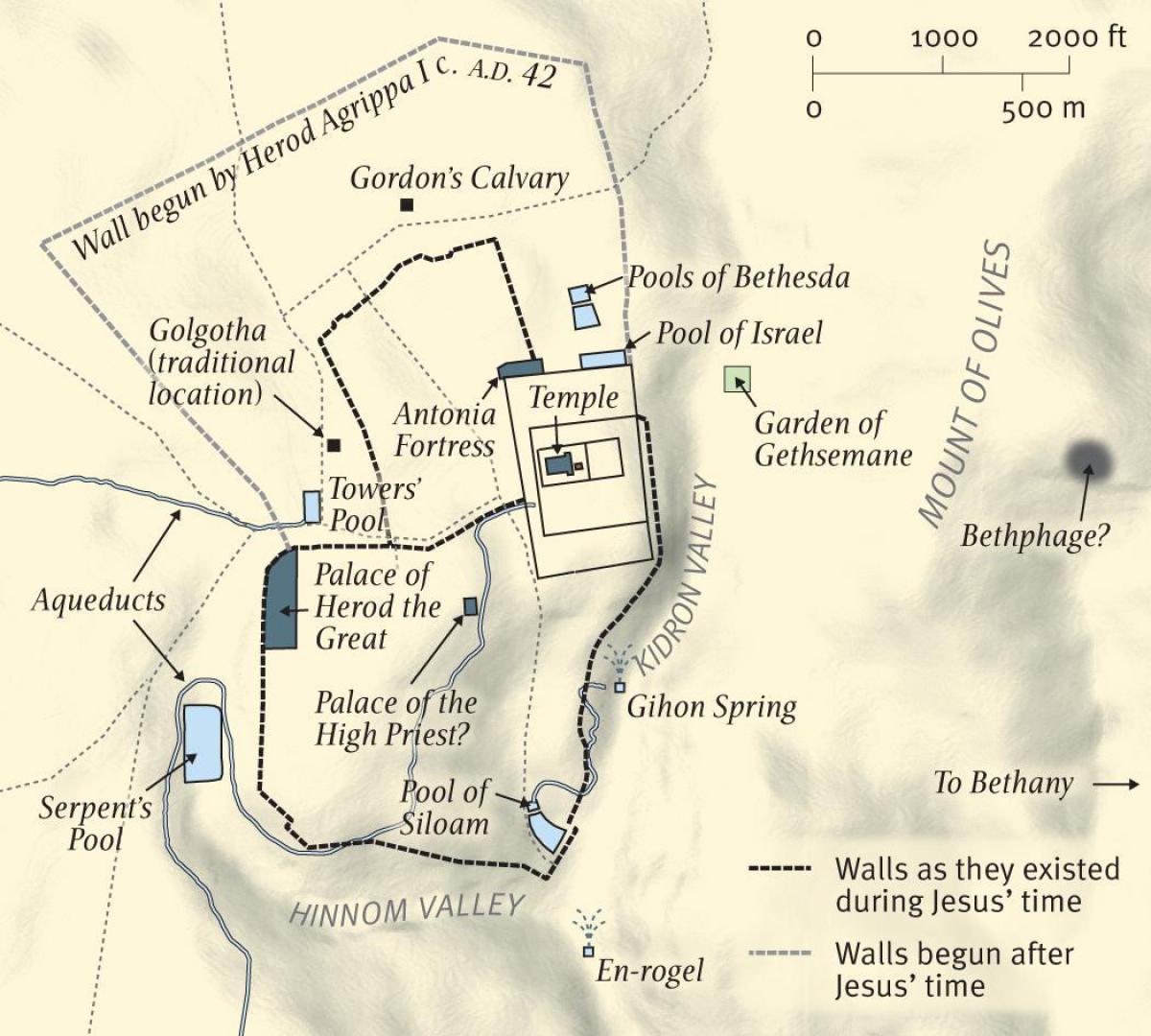
Map of garden of gethsemane. Garden of Gethsemane map (Israel) to print. Garden of Gethsemane map (Israel) to download. The Garden of Gethsemane is the name of a small urban garden located next to the Church of All Nations in the city of Jerusalem as its shown in garden of Gethsemane map. It is traditionally associated with the last days on earth of the Jewish-Christian leader Jesus Christ. The name "Gethsemane" means "[olive] oil press" in Aramaic ("gath shemanim"), and references to olives and olive oil permeate the religious mythology around Christ. There are no early references to olive trees in the garden, apart from the name: the first explicit reference to them came in the 15th century. The Roman Jewish historian Titus Flavius Josephus (37–100 CE) reported that during the siege of Jerusalem in the first century CE, the Roman emperor Vespasian ordered his soldiers to level the land by destroying vegetable gardens, plantations, and fruit trees.
The garden of Gethsemane contains eight olive trees of impressive size and appearance with a rock-lined pathway meandering through them. The standing Church of All Nations is at least the third version of a building at this location. A church was built here during the fourth century CE when Constantine Holy Roman Empire was in full force. That structure was destroyed by an earthquake in the 8th century. The second structure was built during the Crusades (1096–1291) and abandoned in 1345. The current building was built between 1919 and 1924 as its mentioned in garden of Gethsemane map. Biblical scholar Joan Taylor, among others, has argued that the "oil press" name of Gethsemane refers to a cave on the hillside within the garden.


